

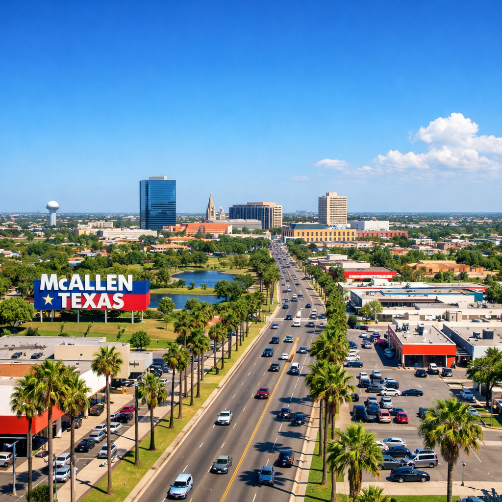
McAllen, Texas, located in the Rio Grande Valley, experiences a subtropical semi-arid climate characterized by long, hot summers and short, mild winters. Understanding these patterns can help residents and visitors prepare for the varying conditions throughout the year.
Temperature Trends
Throughout the year, McAllen’s temperatures fluctuate significantly. The hottest months are typically July and August, with average high temperatures reaching around 97°F (36°C). Conversely, January is the coolest month, with average lows around 52°F (11°C). It’s noteworthy that temperatures can occasionally soar above 100°F (38°C) during summer heatwaves.
Precipitation Patterns
McAllen receives an average annual precipitation of approximately 21.5 inches (546 mm). The wettest month is September, averaging about 4.64 inches (118 mm) of rainfall, often due to tropical systems. In contrast, February is usually the driest month, with an average of 0.94 inches (24 mm) of precipitation.
Seasonal Considerations
During the summer months, high temperatures combined with elevated humidity levels can lead to heat indices exceeding 110°F (43°C). It’s essential to stay hydrated and limit outdoor activities during peak heat periods. Winters are generally mild, with occasional cold fronts bringing brief temperature drops. However, freezing temperatures are rare.
Environmental Factors
Recent studies have highlighted air quality concerns in the region. Data from the Hispanic Access Foundation indicates that McAllen’s average fine particulate matter (PM2.5) pollution is nearing the EPA’s updated safety threshold of 9 µg/m³. This underscores the importance of community awareness and advocacy for cleaner air initiatives.
By staying informed about McAllen’s climate patterns and environmental factors, residents can better prepare for seasonal changes and contribute to a healthier community.